
1903 Map of Bellevue
USGS Topo · Published 1903About this map
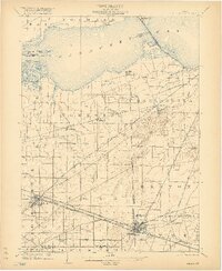
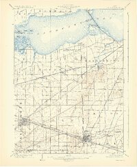
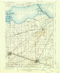
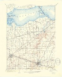
Bellevue and Clyde stand as the primary hubs in this turn-of-the-century landscape where Erie, Sandusky, and Huron counties meet. The map reveals an exceptionally dense transportation network, defined by a convergence of major rail lines including the Lake Shore and Michigan Southern R. R. and the Wheeling and Lake Erie R. R.. This infrastructure supported the local agricultural and industrial economy during a period of rapid regional growth.
Find a feature on this map
52 named features on this map. Tap any name to fly to it.
Don’t see what you’re looking for? This feature index may not catch every label — zoom into the map to look around manually.
Map Details
Editions of this 1903 Bellevue Map
5 editions found
Other maps of this area

1900 · Oak Harbor
USGS Topo · 1:62,500

1901 · Put-In-Bay
USGS Topo · 1:62,500

1901 · Bellevue
USGS Topo · 1:62,500

1901 · Fremont
USGS Topo · 1:62,500

1903 · Fremont
USGS Topo · 1:62,500

1903 · Put In Bay
USGS Topo · 1:62,500

1904 · Sandusky
USGS Topo · 1:62,500

1906 · Tiffin
USGS Topo · 1:62,500

1915 · Norwalk
USGS Topo · 1:62,500

1915 · Siam
USGS Topo · 1:62,500