
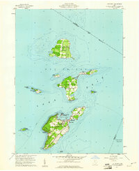
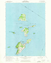
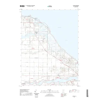
1903 Map of Put In Bay
USGS Topo · Published 1939About this map
South Bass Island and its smaller neighbors define this turn-of-the-century portrait of Ohio's island-and-shoreline geography. At the heart of the archipelago, the village of Put in Bay serves as a focal point, while Middle Bass and Isle St.George on North Bass I. illustrate the early development of these Lake Erie outposts before modern bridge access changed the character of the peninsulas.
Find a feature on this map
36 named features on this map. Tap any name to fly to it.
Don’t see what you’re looking for? This feature index may not catch every label — zoom into the map to look around manually.
Map Details
Editions of this 1903 Put In Bay Map
This is the sole edition of this map. No revisions or reprints were ever made.
Historical Maps of Port Clinton Through Time
22 maps found

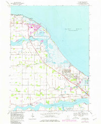
1901 Put-In-Bay
Ottawa County, OH
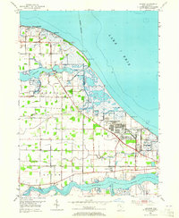
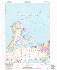
1903 Put In Bay
Ottawa County, OH
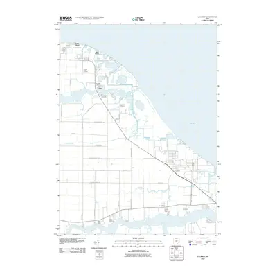
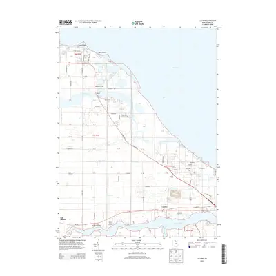
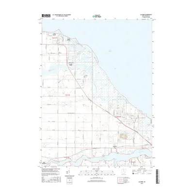
1952 Lacarne
Ottawa County, OH
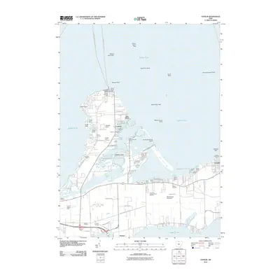
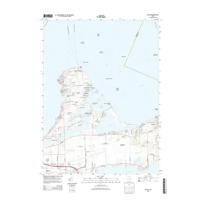
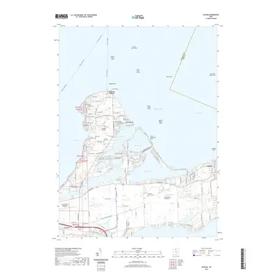
1959 Gypsum
Ottawa County, OH
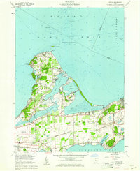
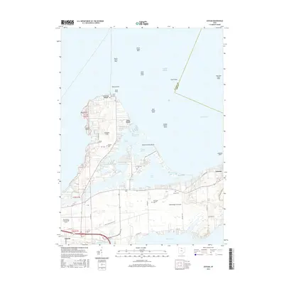
1959 Put-In-Bay
Ottawa County, OH
1967 Lacarne
Ottawa County, OH
1969 Gypsum
Ottawa County, OH
1969 Put-In-Bay
Ottawa County, OH
2010 Gypsum
Ottawa County, OH
2010 Lacarne
Ottawa County, OH
2013 Gypsum
Ottawa County, OH
2013 Lacarne
Ottawa County, OH
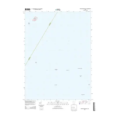
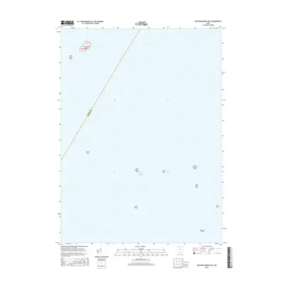
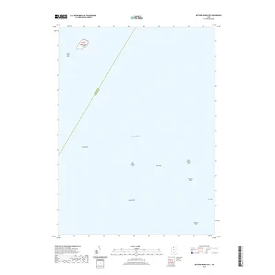
2013 Metzger Marsh OE E
Ottawa County, OH
2016 Gypsum
Ottawa County, OH
2016 Lacarne
Ottawa County, OH
2016 Metzger Marsh OE E
Ottawa County, OH
2019 Gypsum
Ottawa County, OH
2019 Lacarne
Ottawa County, OH
2019 Metzger Marsh OE E
Ottawa County, OH
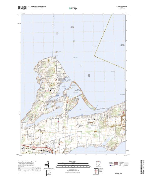
2023 Gypsum
Ottawa County, OH
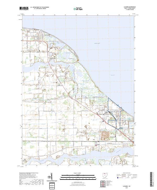
2023 Lacarne
Ottawa County, OH
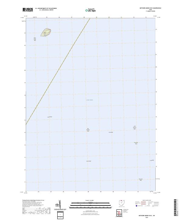
2023 Metzger Marsh OE E
Ottawa County, OH
Featured Locations
- Port Clinton, OH
- Catawba Island, Catawba Island Township
- Harbor Acres, Danbury Township
- Put-in-Bay, Put-in-Bay Township