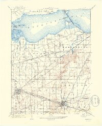
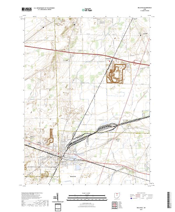
1901 Map of Bellevue
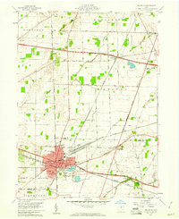
USGS Topo · Published 1958About this map
Sandusky Bay defines the northern edge of this Ohio landscape, where marshy inlets like Pickerel Creek and Little Pickerel Creek feed into the open water near Winous Pt. and several small islands. The region's unique hydrology is punctuated by Crystal Rock Spring and the famous Blue Hole near Castalia, revealing the subterranean karst system of the Erie Islands vicinity. This is a dense corridor of turn-of-the-century rail travel, featuring an intricate web of competing lines including the Lake Shore Electric, Wheeling and Lake Erie, and the Columbus and Sandusky Line. These tracks connect established agricultural and industrial hubs like Bellevue and Clyde with small rural points such as Vickery and Townsend. The map illustrates a period when the New York Central and other steam and electric lines dictated the growth of settlements across the York and Margaretta townships.
Find a feature on this map
52 named features on this map. Tap any name to fly to it.
Don’t see what you’re looking for? This feature index may not catch every label — zoom into the map to look around manually.
Map Details
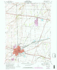
Editions of this 1901 Bellevue Map
This is the sole edition of this map. No revisions or reprints were ever made.
Historical Maps of Sandusky Through Time
9 maps found