
1904 Map of Sandusky
USGS Topo · Published 1941About this map
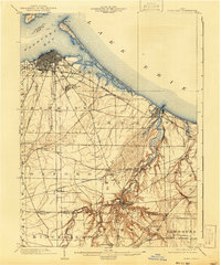
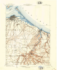
Sandusky serves as the dominant anchor of this Lake Erie shoreline study, situated where the dense grid of city streets meets the waters of Sandusky Bay. The landscape at the start of the 20th century is defined by a complex web of transportation, where heavy rail lines like the Lake Shore and Michigan Southern and Baltimore and Ohio intersect with the Electric Line. To the southeast, the Huron River carves a deep, winding valley through Milan and Huron, its eastern and western branches converging before reaching the lake. Significant landmarks of the era are clearly marked, including the sprawling grounds of the State Soldiers Home south of the city and the early geography of Cedar Pt. Inland, the map documents small agricultural settlements and post offices such as Bloomingville, Bogart, and Avery that formed the backbone of Erie County's rural economy.
Find a feature on this map
47 named features on this map. Tap any name to fly to it.
Don’t see what you’re looking for? This feature index may not catch every label — zoom into the map to look around manually.
Map Details
Editions of this 1904 Sandusky Map
3 editions found
Other maps of this area

1901 · Put-In-Bay
USGS Topo · 1:62,500

1901 · Bellevue
USGS Topo · 1:62,500

1903 · Bellevue
USGS Topo · 1:62,500

1903 · Vermilion
USGS Topo · 1:62,500

1903 · Put In Bay
USGS Topo · 1:62,500

1908 · New London
USGS Topo · 1:62,500

1915 · Norwalk
USGS Topo · 1:62,500

1915 · Siam
USGS Topo · 1:62,500

1916 · Kelleys Island
USGS Topo · 1:62,500

1919 · Kelleys Island
USGS Topo · 1:62,500