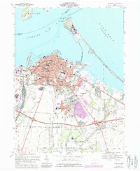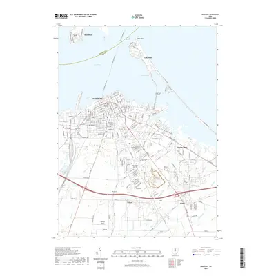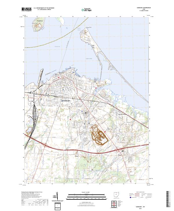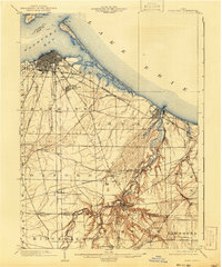
1904 Map of Sandusky
USGS Topo · Published 1941About this map
Sandusky and its bustling harbor dominate this early 20th-century landscape, where the iron rails of the Baltimore and Ohio Railroad (Sandusky Branch) and the Lake Shore and Michigan Southern Railway converge at the water's edge. The shoreline is defined by the long reach of Cedar Pt and the wide expanse of Sandusky Bay, protecting the city from the open waters of Lake Erie. Inland, the map reveals a sophisticated network of electric and steam transit, including the Lake Shore and Michigan Southern Electric Railway, which linked coastal ports to interior agricultural hubs.
Find a feature on this map
49 named features on this map. Tap any name to fly to it.
Don’t see what you’re looking for? This feature index may not catch every label — zoom into the map to look around manually.
Map Details
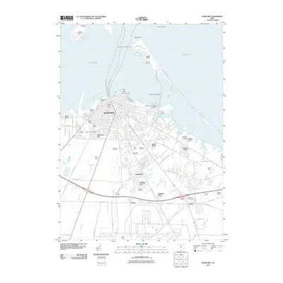
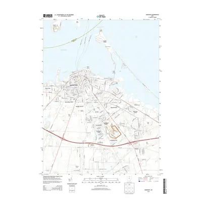
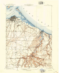
Editions of this 1904 Sandusky Map
3 editions found

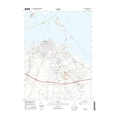
Historical Maps of Sandusky Through Time
8 maps found