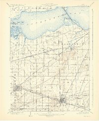
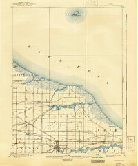
1903 Map of Bellevue
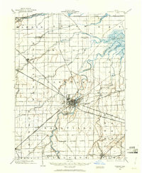
USGS Topo · Published 1931About this map
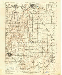
Sandusky Bay dominates the northern landscape of this early twentieth-century survey, revealing a region defined by complex hydrology and a dense concentration of competing rail lines. The industrial and agricultural landscape of Erie, Sandusky, and Huron counties is deeply carved by water, featuring unique landmarks like the Blue Hole and Crystal Rock Spring near Castalia. The Connecticut Western Reserve Boundary Line cuts vertically through the center, marking a significant historical surveying division between Townsend and Margaretta townships.
Find a feature on this map
52 named features on this map. Tap any name to fly to it.
Don’t see what you’re looking for? This feature index may not catch every label — zoom into the map to look around manually.
Map Details
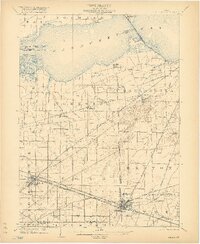
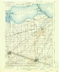
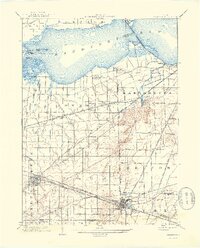
Editions of this 1903 Bellevue Map
5 editions found
Other maps of this area
1900 · Oak Harbor
USGS Topo · 1:62,500

1901 · Put-In-Bay
USGS Topo · 1:62,500

1901 · Bellevue
USGS Topo · 1:62,500
1901 · Fremont
USGS Topo · 1:62,500

1903 · Bellevue
USGS Topo · 1:62,500
1903 · Fremont
USGS Topo · 1:62,500

1903 · Put In Bay
USGS Topo · 1:62,500

1904 · Sandusky
USGS Topo · 1:62,500
1906 · Tiffin
USGS Topo · 1:62,500
1915 · Norwalk
USGS Topo · 1:62,500