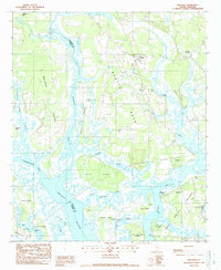
1988 Map of Sheldon
USGS Topo · Published 1988About this map
The tidal landscape of the South Carolina Lowcountry is defined here by the confluence of the Broad River, the Coosawhatchie River, and the Pocotaligo River as they meet the Port Royal Sound. This 1988 survey captures a complex network of marshlands, necks, and islands, including Scotts Neck, Brays Island, and Halls Island. The settlement at Sheldon and the crossroads of Gardens Corner serve as the primary inland hubs, while coastal features like Seabrook Island and Seabrook Point illustrate the local geography along Whale Branch. The map indicates a transition from inland agricultural or wooded tracts, marked by a Lookout Tower near Sheldon, to the extensive tidal flats and creeks that characterize the Beaufort and Jasper County border. Local historians can trace family-named landmarks such as Gregorie Neck, Grahams Neck, and Deloss Island across this aquatic environment.
Find a feature on this map
35 named features on this map. Tap any name to fly to it.
Don’t see what you’re looking for? This feature index may not catch every label — zoom into the map to look around manually.
Map Details
Editions of this 1988 Sheldon Map
This is the sole edition of this map. No revisions or reprints were ever made.
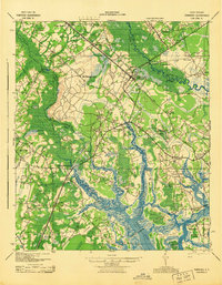
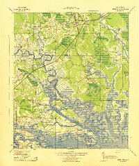
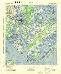
Other maps of this area

1918 · Green Pond
USGS Topo · 1:62,500

1918 · Yemassee
USGS Topo · 1:62,500

1920 · Okatie
USGS Topo · 1:62,500

1942 · Okatie
USGS Topo · 1:62,500
1943 · Yemassee
USGS Topo · 1:62,500
1943 · Green Pond
USGS Topo · 1:62,500
1944 · Fort Fremont
USGS Topo · 1:62,500

1947 · Savannah
USGS Topo · 1:250,000

1948 · Savannah
USGS Topo · 1:250,000

1957 · Savannah
USGS Topo · 1:250,000