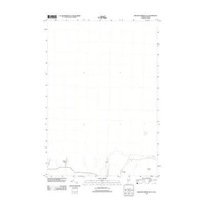
2012 Map of Sheldon Springs OE N
USGS Topo · Published 2012About this map
Morses Line sits at the southern edge of this northern Vermont landscape, serving as a distinct focal point where the local road network converges near the international boundary. This 2012 survey captures a rural environment defined by high points such as Minister Hill and Shingle Hill, which overlook a terrain shaped by small watercourses and agricultural pathways. The area reflects a quiet borderland character, where family-named routes like Gallup Rd and Pidgeon Hill Rd link the scattered homesteads. Genealogy interests center on Briggs Cem, located along Pidgeon Hill Rd, a site that preserves the names of early settlers in this pocket of Franklin County. The mapping here illustrates the persistent rural footprint of the region, where the land is primarily divided by natural elevation and historic property lines rather than dense modern development.
Find a feature on this map
8 named features on this map. Tap any name to fly to it.
Don’t see what you’re looking for? This feature index may not catch every label — zoom into the map to look around manually.
Map Details
Editions of this 2012 Sheldon Springs OE N Map
This is the sole edition of this map. No revisions or reprints were ever made.
Other maps of this area

1914 · St. Albans
USGS Topo · 1:48,000

1916 · St. Albans
USGS Topo · 1:62,500

1920 · Franklin Pond
USGS Topo · 1:62,500

1922 · Enosburg Falls
USGS Topo · 1:48,000

1924 · Enosburg Falls
USGS Topo · 1:62,500

1943 · St. Albans
USGS Topo · 1:62,500

1944 · Enosburg Falls
USGS Topo · 1:62,500

1950 · Lake Champlain
USGS Topo · 1:250,000
1953 · Enosburg Falls
USGS Topo · 1:62,500

1958 · Lake Champlain
USGS Topo · 1:250,000