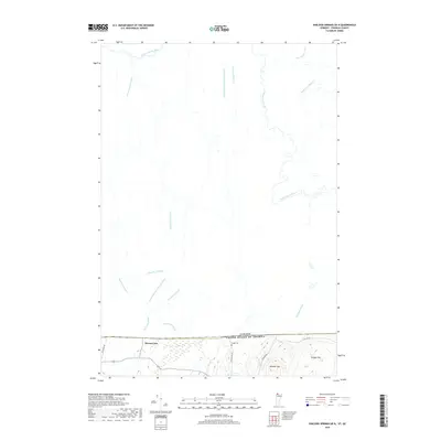
2018 Map of Sheldon Springs OE N
USGS Topo · Published 2018About this map
Morses Line serves as a distinct point of interest on this 2018 survey, situated exactly where the international border separates Vermont from Quebec. The landscape south of the boundary is characterized by rising terrain such as Minister Hill and Shingle Hill, while the area north of the line is defined by a dense network of watercourses. The Rivière aux Brochets winds extensively through the northern territory, joined by numerous named brooks including Ruisseau Dutch Street, Ruisseau Grothers, and Ruisseau Furnace. This hydrographic pattern reveals a rural environment heavily influenced by drainage and natural topography. Genealogists may find interest in Briggs Cem near Pidgeon Hill Rd, providing a specific focal point for local family history in this borderland region where Franklin County meets the Canadian frontier.
Find a feature on this map
23 named features on this map. Tap any name to fly to it.
Don’t see what you’re looking for? This feature index may not catch every label — zoom into the map to look around manually.
Map Details
Editions of this 2018 Sheldon Springs OE N Map
This is the sole edition of this map. No revisions or reprints were ever made.
Other maps of this area

1914 · St. Albans
USGS Topo · 1:48,000

1916 · St. Albans
USGS Topo · 1:62,500

1920 · Franklin Pond
USGS Topo · 1:62,500

1922 · Enosburg Falls
USGS Topo · 1:48,000

1924 · Enosburg Falls
USGS Topo · 1:62,500

1943 · St. Albans
USGS Topo · 1:62,500

1944 · Enosburg Falls
USGS Topo · 1:62,500

1950 · Lake Champlain
USGS Topo · 1:250,000
1953 · Enosburg Falls
USGS Topo · 1:62,500

1958 · Lake Champlain
USGS Topo · 1:250,000