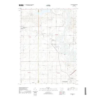
2018 Map of Shellsburg
USGS Topo · Published 2018About this map
The Cedar River corridor dominates this portion of eastern Iowa, winding through a landscape of wetlands and riverine lakes like Mid Lake. The settlement of Palo sits near the river's western bank, while the community of Shellsburg is positioned further west along Bear Creek. This map illustrates the transition from the riparian lowlands of the river valley to the upland farm plots of the Benton and Linn county line. Notable topographic features include The Hogback, a prominent rise north of the creek, and several historical burial grounds including Strawn Cem and Spring Grove Cem. Infrastructure like the Shellsburg Bridge and Chain Lakes Bridge provides vital crossings for a network of local roads that connect these agricultural and riverside communities.
Find a feature on this map
84 named features on this map. Tap any name to fly to it.
Don’t see what you’re looking for? This feature index may not catch every label — zoom into the map to look around manually.
Map Details
Editions of this 2018 Shellsburg Map
This is the sole edition of this map. No revisions or reprints were ever made.
Other maps of this area

1887 · Cedar Rapids
USGS Topo · 1:62,500

1888 · Shellsburg
USGS Topo · 1:62,500

1888 · Marion
USGS Topo · 1:62,500

1888 · Amana
USGS Topo · 1:62,500

1889 · Marion
USGS Topo · 1:62,500

1889 · Amana
USGS Topo · 1:62,500

1889 · Shellsburg
USGS Topo · 1:62,500

1891 · Cedar Rapids
USGS Topo · 1:62,500

1899 · Amana
USGS Topo · 1:62,500

1899 · Shellsburg
USGS Topo · 1:62,500