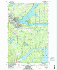
1981 Map of Shelton
USGS Topo · Published 1982About this map
Shelton sits at the western head of Oakland Bay, serving as a hub for timber transport and regional industry in the early 1980s. The landscape is defined by its intricate shoreline where Hammersley Inlet, Skookum Inlet, and Totten Inlet meet the mainland. The Burlington Northern railroad lines trace the coastline and move inland, connecting the waterfront mills and docks to the broader regional network.
Find a feature on this map
56 named features on this map. Tap any name to fly to it.
Don’t see what you’re looking for? This feature index may not catch every label — zoom into the map to look around manually.
Map Details
Editions of this 1981 Shelton Map
2 editions found
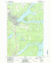
Other maps of this area

1937 · Olympia
USGS Topo · 1:62,500

1938 · Allyn
USGS Topo · 1:62,500

1939 · Shelton
USGS Topo · 1:62,500

1943 · Potlatch
USGS Topo · 1:62,500

1949 · Olympia
USGS Topo · 1:62,500

1952 · Potlatch
USGS Topo · 1:62,500
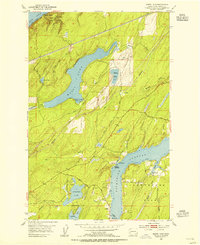
1953 · Mason Lake
USGS Topo · 1:24,000

1953 · Shelton
USGS Topo · 1:62,500

1958 · Seattle
USGS Topo · 1:250,000
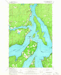
1959 · Squaxin Island
USGS Topo · 1:24,000