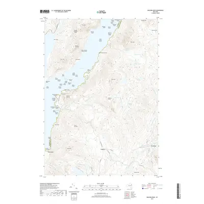
2019 Map of Shelving Rock
USGS Topo · Published 2019About this map
Lake George dominates the western portion of this landscape, its waters punctuated by a dense archipelago within The Narrows. This island chain includes distinctive landmarks such as Floating Battery Island, Sagamore Island, and Big Burnt Island, while the Tongue Mountain Range rises sharply from the western shore. The map records the varied topography of the Lake George Wild Forest, where high peaks like Elephant Mtn and Sugarloaf Mtn overlook numerous upland water bodies including Black Mountain Ponds and Greenland Pond. Small settlements and landing points like Hogtown, Pilot Knob, and South Bay provide the primary human anchors in a region defined by its complex shoreline and steep, wooded interior.
Find a feature on this map
83 named features on this map. Tap any name to fly to it.
Don’t see what you’re looking for? This feature index may not catch every label — zoom into the map to look around manually.
Map Details
Editions of this 2019 Shelving Rock Map
This is the sole edition of this map. No revisions or reprints were ever made.
Other maps of this area

1893 · Fort Ann
USGS Topo · 1:62,500

1893 · Whitehall
USGS Topo · 1:62,500

1895 · Whitehall
USGS Topo · 1:62,500

1895 · Fort Ann
USGS Topo · 1:62,500

1895 · Glens Falls
USGS Topo · 1:62,500

1897 · Bolton
USGS Topo · 1:62,500

1897 · Glens Falls
USGS Topo · 1:62,500

1898 · Whitehall
USGS Topo · 1:62,500

1898 · Fort Ann
USGS Topo · 1:62,500

1900 · Bolton
USGS Topo · 1:62,500