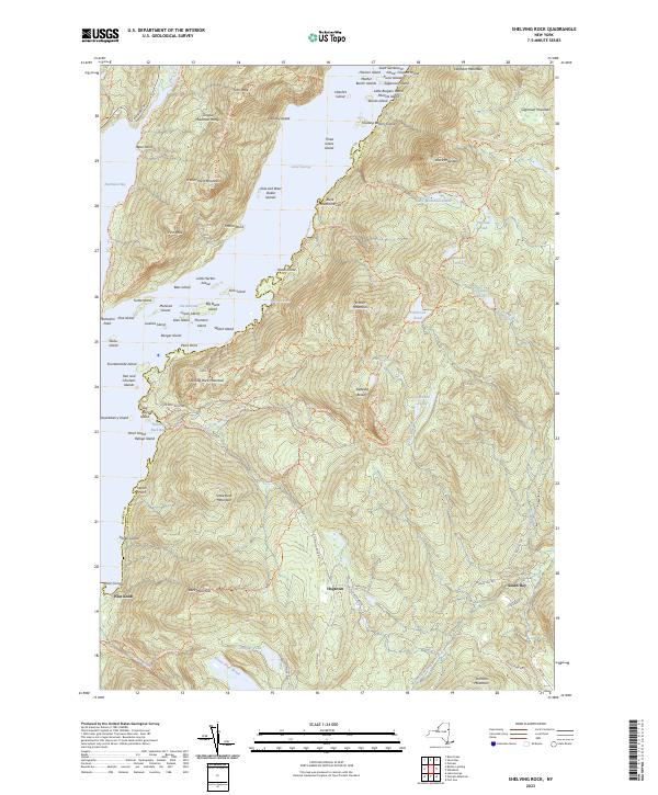
2023 Map of Shelving Rock
USGS Topo · Published 2023About this map
Lake George dominates the western half of this landscape, its waters dotted with numerous named islands such as Big Burnt Island, Fourteenmile Island, and Turtle Island. The rugged topography of the Adirondacks is defined by prominent peaks including Buck Mountain, Erebus Mountain, and the Tongue Mountain Range, which creates a dramatic peninsula separating the main lake from Northwest Bay.
Find a feature on this map
113 named features on this map. Tap any name to fly to it.
Don’t see what you’re looking for? This feature index may not catch every label — zoom into the map to look around manually.
Map Details
Editions of this 2023 Shelving Rock Map
This is the sole edition of this map. No revisions or reprints were ever made.
Other maps of this area

1893 · Fort Ann
USGS Topo · 1:62,500

1893 · Whitehall
USGS Topo · 1:62,500

1895 · Whitehall
USGS Topo · 1:62,500

1895 · Fort Ann
USGS Topo · 1:62,500

1895 · Glens Falls
USGS Topo · 1:62,500

1897 · Bolton
USGS Topo · 1:62,500

1897 · Glens Falls
USGS Topo · 1:62,500

1898 · Whitehall
USGS Topo · 1:62,500

1898 · Fort Ann
USGS Topo · 1:62,500

1900 · Bolton
USGS Topo · 1:62,500