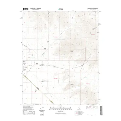
2014 Map of Shenandoah Peak
USGS Topo · Published 2014About this map
Sandy Valley occupies the arid lowlands where the Mojave Desert meets the high elevations of the Spring Mountains. This desert landscape is defined by the intersection of the Nevada California state line, cutting diagonally across the Mesquite Valley. The settlement pattern here is characterized by distinct residential and industrial pockets, including the grids of Lincoln City and Ripley, alongside the Sandy Mill site.
Find a feature on this map
51 named features on this map. Tap any name to fly to it.
Don’t see what you’re looking for? This feature index may not catch every label — zoom into the map to look around manually.
Map Details
Editions of this 2014 Shenandoah Peak Map
This is the sole edition of this map. No revisions or reprints were ever made.
Other maps of this area

1910 · Ivanpah
USGS Topo · 1:250,000

1912 · Ivanpah
USGS Topo · 1:250,000

1942 · Ivanpah
USGS Topo · 1:250,000

1947 · Kingman
USGS Topo · 1:250,000

1948 · Kingman
USGS Topo · 1:250,000

1954 · Kingman
USGS Topo · 1:250,000

1955 · Kingman
USGS Topo · 1:250,000

1955 · Roach Lake
USGS Topo · 1:62,500

1956 · Clark Mountain
USGS Topo · 1:62,500

1956 · Shenandoah Peak
USGS Topo · 1:62,500