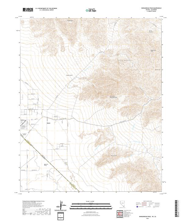
2021 Map of Shenandoah Peak
USGS Topo · Published 2021About this map
Ripley and the residential grid of Mesquite Valley sit at the intersection of the Nevada and California border, defined by the Stateline Rd. This arid landscape within the Mojave Desert is dominated by the high elevations of the Spring Mountains, where peaks like Shenandoah Peak, Ragged Peak, and Rattler Hill rise above the alluvial fans. The drainage network is characterized by ephemeral desert watercourses, including Keystone Wash, Bonanza Wash, and Singer Wash.
Find a feature on this map
43 named features on this map. Tap any name to fly to it.
Don’t see what you’re looking for? This feature index may not catch every label — zoom into the map to look around manually.
Map Details
Editions of this 2021 Shenandoah Peak Map
This is the sole edition of this map. No revisions or reprints were ever made.
Other maps of this area

1910 · Ivanpah
USGS Topo · 1:250,000

1912 · Ivanpah
USGS Topo · 1:250,000

1942 · Ivanpah
USGS Topo · 1:250,000

1947 · Kingman
USGS Topo · 1:250,000

1948 · Kingman
USGS Topo · 1:250,000

1954 · Kingman
USGS Topo · 1:250,000

1955 · Kingman
USGS Topo · 1:250,000

1955 · Roach Lake
USGS Topo · 1:62,500

1956 · Clark Mountain
USGS Topo · 1:62,500

1956 · Shenandoah Peak
USGS Topo · 1:62,500