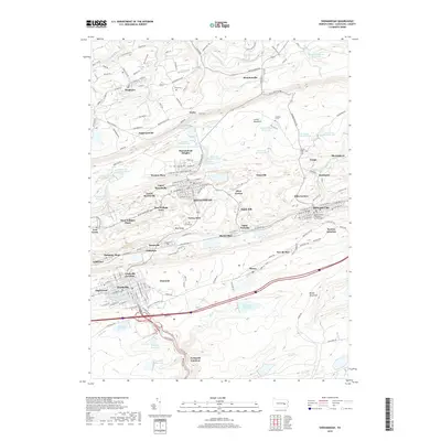
2019 Map of Shenandoah
USGS Topo · Published 2019About this map
Shenandoah and Mahanoy City anchor this portrait of the Pennsylvania coal region, where dense urban grids are hemmed in by the massive ridges of Locust Mountain and Broad Mountain. The landscape is defined by the extensive management of water, visible in a numbered series of reservoirs such as Reservoir Number One and Reservoir Number Six that ring the heights. The map reveals the intricate network of surrounding villages like Turkey Run, Saint Nicholas, and Maizeville, alongside specialized landmarks such as the McCann School of Business & Technology. To the north, the terrain drops into the agricultural and residential Ringtown Valley, providing a sharp contrast to the industrial character of the southern settlements. Local history is preserved in sites like Saint Joseph Cem and the uniquely named Peddlars Grave, while rail-related history is suggested by names like Mahanoy Plane and Frackville Junction.
Find a feature on this map
172 named features on this map. Tap any name to fly to it.
Don’t see what you’re looking for? This feature index may not catch every label — zoom into the map to look around manually.
Map Details
Editions of this 2019 Shenandoah Map
This is the sole edition of this map. No revisions or reprints were ever made.
Other maps of this area

1889 · Catawissa
USGS Topo · 1:62,500

1889 · Pottsville
USGS Topo · 1:62,500

1891 · Pottsville
USGS Topo · 1:62,500

1892 · Catawissa
USGS Topo · 1:62,500

1892 · Mahanoy
USGS Topo · 1:62,500

1892 · Pine Grove
USGS Topo · 1:62,500

1893 · Mahanoy
USGS Topo · 1:62,500

1894 · Catawissa
USGS Topo · 1:62,500

1944 · Pottsville
USGS Topo · 1:24,000

1944 · Orwigsburg
USGS Topo · 1:24,000