Loading...
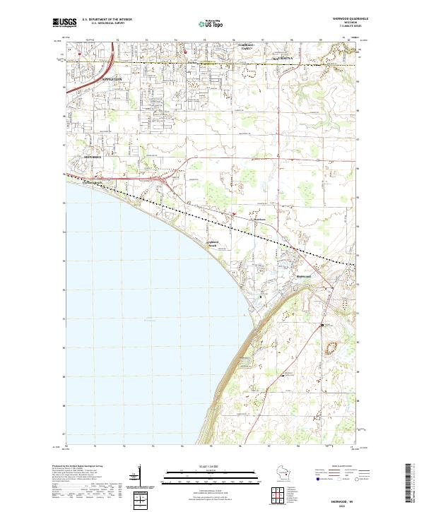
Loading map...2022 Map of Sherwood
USGS Topo · Published 2022About this map
Lake Winnebago defines the western margin of this region, where the dramatic elevation of High Cliff overlooks the shoreline. This modern survey captures the complex jurisdictional intersection of Outagamie and Calumet counties, showing the dense residential expansion of Appleton, Kaukauna, and Menasha as they reach toward the rural landscapes of Harrison and Sherwood.
Find a feature on this map
64 named features on this map. Tap any name to fly to it.
Don’t see what you’re looking for? This feature index may not catch every label — zoom into the map to look around manually.
Map Details
Date Portrayed2022
Date Published2022
PublisherU.S. Geological Survey
Map TypeTopographic
Scale1:24000
Physical Dimensions24 x 29 inches
Editions of this 2022 Sherwood Map
This is the sole edition of this map. No revisions or reprints were ever made.
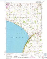
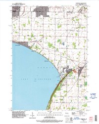
Historical Maps of Harrison Through Time
3 maps found
Featured Locations
Source Details
SourceU.S. Geological Survey
CopyrightPublic Domain