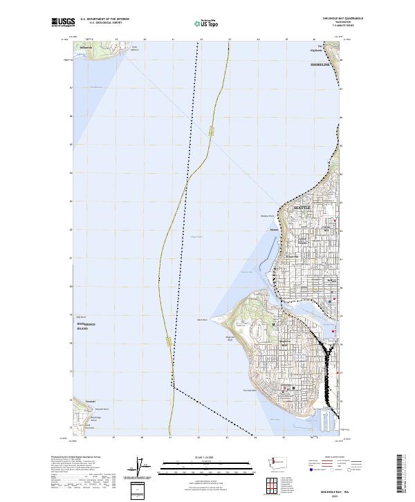
2023 Map of Shilshole Bay
USGS Topo · Published 2023About this map
Puget Sound serves as the central divide in this modern survey, separating the urban sprawl of northwest Seattle from the quieter shores of Bainbridge Island and the Great Peninsula. The eastern shore is defined by a dense grid of residential neighborhoods like Loyal Heights, Sunset Hill, and Crown Hill, transitioning into the industrial and maritime corridors of Ballard and Interbay. A key engineering feature is the Lake Washington Ship Canal, which connects Shilshole Bay to Salmon Bay, facilitating the region's vital waterborne commerce.
Find a feature on this map
138 named features on this map. Tap any name to fly to it.
Don’t see what you’re looking for? This feature index may not catch every label — zoom into the map to look around manually.
Map Details
Editions of this 2023 Shilshole Bay Map
This is the sole edition of this map. No revisions or reprints were ever made.
Other maps of this area

1894 · Seattle
USGS Topo · 1:62,500

1895 · Snohomish
USGS Topo · 1:125,000

1897 · Seattle
USGS Topo · 1:125,000

1908 · Seattle
USGS Topo · 1:62,500

1909 · Seattle Special
USGS Topo · 1:62,500

1937 · Port Orchard
USGS Topo · 1:62,500

1937 · Port Gamble
USGS Topo · 1:62,500

1940 · Port Gamble
USGS Topo · 1:62,500

1942 · Edmonds
USGS Topo · 1:62,500

1949 · Shilshole Bay
USGS Topo · 1:24,000