
1949 Map of Shilshole Bay
USGS Topo · Published 1954About this map
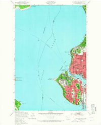
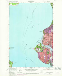
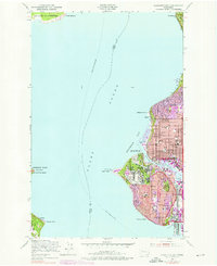
Fort Lawton Military Reservation anchors the western edge of this Seattle coastline, overlooking the deep waters of Puget Sound. The 1949 landscape reflects a bustling maritime and residential corridor, where the Salmon Bay Waterway serves as a critical artery for the Salmon Bay Terminal. Urban development is visible across Ballard and Magnolia Bluff, characterized by a grid of streets interspersed with community landmarks like James Monroe Junior High and Webster Sch.
Find a feature on this map
58 named features on this map. Tap any name to fly to it.
Don’t see what you’re looking for? This feature index may not catch every label — zoom into the map to look around manually.
Map Details
Editions of this 1949 Shilshole Bay Map
4 editions found
Other maps of this area

1894 · Seattle
USGS Topo · 1:62,500

1895 · Snohomish
USGS Topo · 1:125,000

1897 · Seattle
USGS Topo · 1:125,000

1908 · Seattle
USGS Topo · 1:62,500

1909 · Seattle Special
USGS Topo · 1:62,500

1937 · Port Orchard
USGS Topo · 1:62,500

1937 · Port Gamble
USGS Topo · 1:62,500

1940 · Port Gamble
USGS Topo · 1:62,500

1942 · Edmonds
USGS Topo · 1:62,500
1949 · Duwamish Head
USGS Topo · 1:24,000