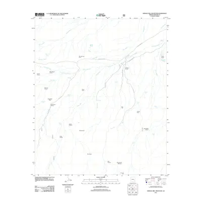
2011 Map of Shingle Mill Mountain
USGS Topo · Published 2011About this map
Shingle Mill Mountain and its surrounding canyons define this high-desert landscape in Graham County. The map details a complex drainage system where Matthews Wash, Bear Springs Wash, and Bigler Wash descend toward the central Cottonwood Creek. The terrain is marked by numerous natural and man-made water sources critical for livestock and wildlife, including Bear Springs, Green Spring, and several named tanks like Ringcone Tank and Mexican Tank.
Find a feature on this map
53 named features on this map. Tap any name to fly to it.
Don’t see what you’re looking for? This feature index may not catch every label — zoom into the map to look around manually.
Map Details
Editions of this 2011 Shingle Mill Mountain Map
This is the sole edition of this map. No revisions or reprints were ever made.
Other maps of this area

1940 · Sierra Bonita Ranch
USGS Topo · 1:62,500

1942 · Sierra Bonita Ranch
USGS Topo · 1:62,500

1942 · Mt. Graham
USGS Topo · 1:62,500

1943 · Sierra Bonita Ranch
USGS Topo · 1:62,500

1944 · Jackson Mtn.
USGS Topo · 1:62,500

1945 · Mt. Graham
USGS Topo · 1:62,500

1946 · Jackson Mtn.
USGS Topo · 1:62,500

1954 · Silver City
USGS Topo · 1:250,000

1956 · Tucson
USGS Topo · 1:250,000

1958 · Silver City
USGS Topo · 1:250,000