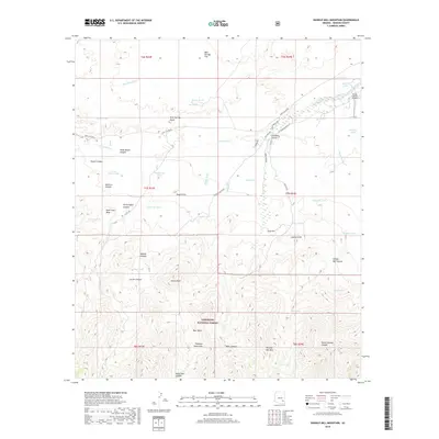
2018 Map of Shingle Mill Mountain
USGS Topo · Published 2018About this map
Coronado National Forest dominates the southern reaches of this landscape, where the Pinaleno Mountains rise above the high desert floor. The terrain is defined by a dense network of drainage systems, including Matthews Wash, Cottonwood Creek, and Middle Wash, which carve through deep formations like Wide Mouth Canyon and North Taylor Canyon. This modern survey illustrates the vital importance of water management in an arid environment, documenting a high concentration of stock tanks and springs such as Bear Springs, Coyote Tank, and Green Spring. Cultural landmarks like the Flying J Ranch Airport and naming conventions such as Dead Steer Mesa reflect the region's enduring ranching identity. Transportation follows natural contours, with Tripp Canyon Rd and Nuttall Canyon Rd providing access into the more secluded mountain canyons.
Find a feature on this map
62 named features on this map. Tap any name to fly to it.
Don’t see what you’re looking for? This feature index may not catch every label — zoom into the map to look around manually.
Map Details
Editions of this 2018 Shingle Mill Mountain Map
This is the sole edition of this map. No revisions or reprints were ever made.
Other maps of this area

1940 · Sierra Bonita Ranch
USGS Topo · 1:62,500

1942 · Sierra Bonita Ranch
USGS Topo · 1:62,500

1942 · Mt. Graham
USGS Topo · 1:62,500

1943 · Sierra Bonita Ranch
USGS Topo · 1:62,500

1944 · Jackson Mtn.
USGS Topo · 1:62,500

1945 · Mt. Graham
USGS Topo · 1:62,500

1946 · Jackson Mtn.
USGS Topo · 1:62,500

1954 · Silver City
USGS Topo · 1:250,000

1956 · Tucson
USGS Topo · 1:250,000

1958 · Silver City
USGS Topo · 1:250,000