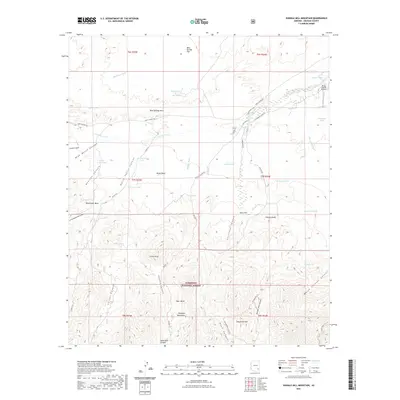
2021 Map of Shingle Mill Mountain
USGS Topo · Published 2021About this map
Pinaleno Mountains dominate the southern half of this landscape, where the Coronado National Forest boundary marks a transition from high peaks to the desert basins below. The terrain is deeply incised by drainage systems such as Nuttall Canyon and Hells Hole Canyon, while the northern reaches flatten toward Bear Springs Flat. This area is characterized by a sparse network of ranching infrastructure and remote airstrips.
Find a feature on this map
64 named features on this map. Tap any name to fly to it.
Don’t see what you’re looking for? This feature index may not catch every label — zoom into the map to look around manually.
Map Details
Editions of this 2021 Shingle Mill Mountain Map
This is the sole edition of this map. No revisions or reprints were ever made.
Other maps of this area

1940 · Sierra Bonita Ranch
USGS Topo · 1:62,500

1942 · Sierra Bonita Ranch
USGS Topo · 1:62,500

1942 · Mt. Graham
USGS Topo · 1:62,500

1943 · Sierra Bonita Ranch
USGS Topo · 1:62,500

1944 · Jackson Mtn.
USGS Topo · 1:62,500

1945 · Mt. Graham
USGS Topo · 1:62,500

1946 · Jackson Mtn.
USGS Topo · 1:62,500

1954 · Silver City
USGS Topo · 1:250,000

1956 · Tucson
USGS Topo · 1:250,000

1958 · Silver City
USGS Topo · 1:250,000