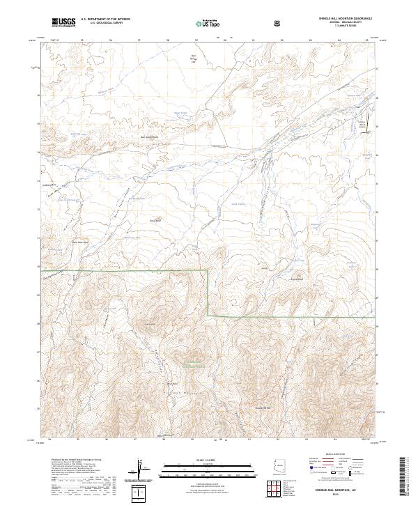
2023 Map of Shingle Mill Mountain
USGS Topo · Published 2023About this map
The Pinaleno Mountains rise sharply in this corner of the Coronado National Forest, a landscape defined by dramatic elevation changes and a complex network of seasonal drainages. High points like Shingle Mill Mtn overlook a system of deep cuts including Nuttall Canyon and White Streaks Canyon. The presence of water is marked by numerous man-made and natural features across the arid terrain, from Bear Springs and Bigler Ponds in the north to isolated livestock supports like Seven Cross Tank and Ringcone Tank further south.
Find a feature on this map
66 named features on this map. Tap any name to fly to it.
Don’t see what you’re looking for? This feature index may not catch every label — zoom into the map to look around manually.
Map Details
Editions of this 2023 Shingle Mill Mountain Map
This is the sole edition of this map. No revisions or reprints were ever made.
Other maps of this area

1940 · Sierra Bonita Ranch
USGS Topo · 1:62,500

1942 · Sierra Bonita Ranch
USGS Topo · 1:62,500

1942 · Mt. Graham
USGS Topo · 1:62,500

1943 · Sierra Bonita Ranch
USGS Topo · 1:62,500

1944 · Jackson Mtn.
USGS Topo · 1:62,500

1945 · Mt. Graham
USGS Topo · 1:62,500

1946 · Jackson Mtn.
USGS Topo · 1:62,500

1954 · Silver City
USGS Topo · 1:250,000

1956 · Tucson
USGS Topo · 1:250,000

1958 · Silver City
USGS Topo · 1:250,000