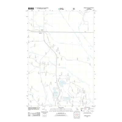
2011 Map of Shingleton
USGS Topo · Published 2011About this map
Shingleton sits at the junction of several vital thoroughfares in the Upper Peninsula, serving as a primary settlement node within the Hiawatha National Forest region. The area's character is defined by a dense network of watercourses and recreational paths, most notably the Haywire Grade ORV Trl, which follows a former railroad alignment through the woods. To the south and east of the village, a cluster of glacial lakes including Lily Lake, Boot Lake, and Sand Lake dot the landscape, surrounded by a labyrinth of forest service roads like Federal Forest 2284 Rd and Hickey Creek Truck Trl.
Find a feature on this map
29 named features on this map. Tap any name to fly to it.
Don’t see what you’re looking for? This feature index may not catch every label — zoom into the map to look around manually.
Map Details
Editions of this 2011 Shingleton Map
This is the sole edition of this map. No revisions or reprints were ever made.
Other maps of this area

1931 · Steuben NE
USGS Topo · 1:31,680

1931 · Shingleton SW
USGS Topo · 1:31,680

1931 · Steuben NW
USGS Topo · 1:31,680

1931 · Shingleton NE
USGS Topo · 1:31,680

1931 · Skeels Lake NE
USGS Topo · 1:31,680

1931 · Shingleton SE
USGS Topo · 1:31,680

1931 · Munising SE
USGS Topo · 1:31,680

1958 · Corner Lake
USGS Topo · 1:62,500

1958 · Munising
USGS Topo · 1:62,500

1958 · Shingleton
USGS Topo · 1:62,500