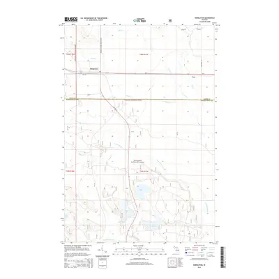
2014 Map of Shingleton
USGS Topo · Published 2014About this map
Hiawatha National Forest dominates this Upper Peninsula landscape, where the settlements of Shingleton and Star sit along the corridor of M-28. The map documents a complex drainage system characterized by numerous creeks and glacial lakes, including Lily Lake, Boot Lake, and the distinctive Stump Lake. The presence of Star Siding Rd suggests the area's historical connection to rail transport and the timber industry that shaped Alger and Schoolcraft Counties.
Find a feature on this map
28 named features on this map. Tap any name to fly to it.
Don’t see what you’re looking for? This feature index may not catch every label — zoom into the map to look around manually.
Map Details
Editions of this 2014 Shingleton Map
This is the sole edition of this map. No revisions or reprints were ever made.
Other maps of this area

1931 · Steuben NE
USGS Topo · 1:31,680

1931 · Shingleton SW
USGS Topo · 1:31,680

1931 · Steuben NW
USGS Topo · 1:31,680

1931 · Shingleton NE
USGS Topo · 1:31,680

1931 · Skeels Lake NE
USGS Topo · 1:31,680

1931 · Shingleton SE
USGS Topo · 1:31,680

1931 · Munising SE
USGS Topo · 1:31,680

1958 · Corner Lake
USGS Topo · 1:62,500

1958 · Munising
USGS Topo · 1:62,500

1958 · Shingleton
USGS Topo · 1:62,500