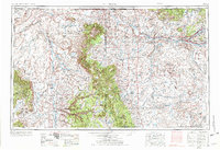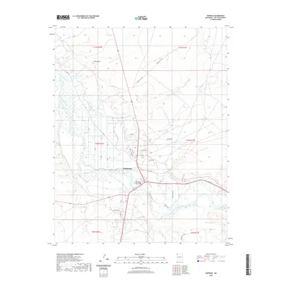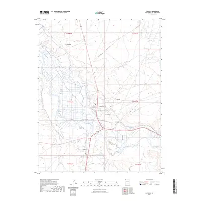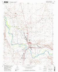
1983 Map of Shiprock
USGS Topo · Published 1984About this map
The San Juan River defines the landscape of this high desert region in northwestern New Mexico, where the Shiprock settlement serves as a central hub on the Navajo Indian Reservation. An extensive network of irrigation infrastructure is visible, including the Hogback Canal, Cudei Ditch, and Ditch Number Nine, illustrating the vital role of water management in this arid environment. To the north, Yellow Butte and the Sand Hills dominate the terrain, while the southern reaches are marked by the Chaco River and Many Devils Wash.
Find a feature on this map
37 named features on this map. Tap any name to fly to it.
Don’t see what you’re looking for? This feature index may not catch every label — zoom into the map to look around manually.
Map Details
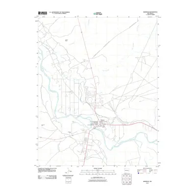
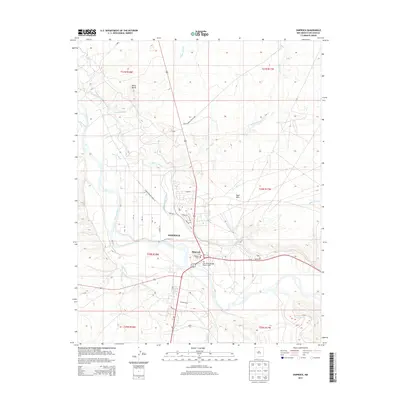
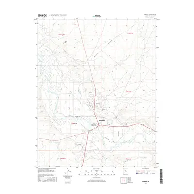
Editions of this 1983 Shiprock Map
This is the sole edition of this map. No revisions or reprints were ever made.
Historical Maps of Shiprock Agency Through Time
9 maps found