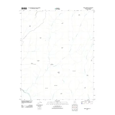
2011 Map of Shiva Temple
USGS Topo · Published 2011About this map
Shiva Temple rises as the central massif of this Coconino County landscape, where the naming conventions of early geologic surveys favor mythological and ancient world references. The drainages of Crystal Creek and Dragon Creek carve deep into the plateau, eventually meeting the Colorado River at the southern edge of the sheet. At this river junction, the turbulent waters of Crystal Rapids are documented just below the confluence.
Find a feature on this map
28 named features on this map. Tap any name to fly to it.
Don’t see what you’re looking for? This feature index may not catch every label — zoom into the map to look around manually.
Map Details
Editions of this 2011 Shiva Temple Map
This is the sole edition of this map. No revisions or reprints were ever made.
Other maps of this area

1886 · Kaibab
USGS Topo · 1:250,000

1903 · Bright Angel
USGS Topo · 1:48,000

1906 · Bright Angel
USGS Topo · 1:48,000

1953 · Grand Canyon
USGS Topo · 1:250,000

1957 · Grand Canyon
USGS Topo · 1:250,000

1958 · Grand Canyon
USGS Topo · 1:250,000

1960 · Grand Canyon
USGS Topo · 1:250,000

1962 · Bright Angel
USGS Topo · 1:48,000

1962 · De Motte Park
USGS Topo · 1:62,500

1962 · Havasupai Point
USGS Topo · 1:62,500