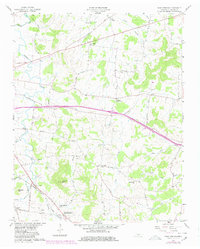
1958 Map of Shop Springs
USGS Topo · Published 1980About this map
The rolling hills of central Tennessee are captured here in the mid-century, defined by a network of rural hubs and family-named landmarks. Shop Springs and its namesake Shop Springs School anchor the southern portion of the map, situated along the Louisville and Nashville railroad line. The landscape is dotted with several significant local gathering points, including Tuckers Crossroads, Linwood, and Greenwood.
Find a feature on this map
48 named features on this map. Tap any name to fly to it.
Don’t see what you’re looking for? This feature index may not catch every label — zoom into the map to look around manually.
Map Details
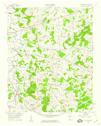
Editions of this 1958 Shop Springs Map
2 editions found
Other maps of this area

1942 · Statesville
USGS Topo · 1:100,000

1942 · Gallatin
USGS Topo · 1:100,000

1942 · Lebanon
USGS Topo · 1:100,000

1951 · Lebanon
USGS Topo · 1:24,000

1955 · Hunters Point
USGS Topo · 1:24,000

1956 · Vine
USGS Topo · 1:24,000

1956 · Nashville
USGS Topo · 1:250,000

1958 · New Middleton
USGS Topo · 1:24,000

1958 · Bellwood
USGS Topo · 1:24,000

1958 · Watertown
USGS Topo · 1:24,000