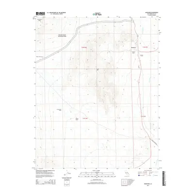
2015 Map of Shoshone
USGS Topo · Published 2015About this map
Shoshone sits as a vital desert outpost at the edge of Death Valley National Park, where the Amargosa River traces a path through the arid landscape of the Mojave Desert. The map reveals the intricate topography of the Greenwater Range and the Dublin Hills, highlighting the geological isolation of this region. The survival of the settlement is historically tied to the Shoshone Spring, which provides a rare water source in the surrounding Greenwater Valley. Infrastructure is concentrated along the river corridor, featuring the Shoshone Airport and residential developments near Dublin Gulch. This modern survey documents the continued significance of this remote gateway, where historical transit routes like Furnace Creek Wash Rd meet newer connectors in a terrain defined by ancient lake beds and desert washes.
Find a feature on this map
17 named features on this map. Tap any name to fly to it.
Don’t see what you’re looking for? This feature index may not catch every label — zoom into the map to look around manually.
Map Details
Editions of this 2015 Shoshone Map
This is the sole edition of this map. No revisions or reprints were ever made.
Other maps of this area

1908 · Furnace Creek
USGS Topo · 1:250,000

1910 · Furnace Creek
USGS Topo · 1:250,000

1933 · Avawatz Mountains
USGS Topo · 1:250,000

1940 · Eagle Tank
USGS Topo · 1:62,500

1947 · Trona
USGS Topo · 1:250,000

1948 · Trona
USGS Topo · 1:250,000

1948 · Death Valley
USGS Topo · 1:250,000

1950 · Tecopa
USGS Topo · 1:62,500

1951 · Tecopa
USGS Topo · 1:62,500

1951 · Eagle Mtn
USGS Topo · 1:62,500