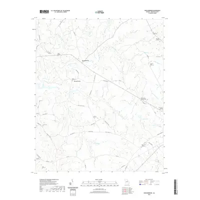
2020 Map of Shoulderbone
USGS Topo · Published 2020About this map
Shoulderbone and Howell Grove anchor this Hancock County landscape, where family heritage is deeply inscribed through numerous private burial grounds. Genealogists will find significant value in the distribution of family-named sites, including the Green - Hudson Family Cem, Mosley Family Cem, and the tripartite Barnes - Rives - Warren Family Cem. These sites, along with the Amoss Family Cem, suggest long-standing land ownership patterns tied to the local agricultural economy.
Find a feature on this map
62 named features on this map. Tap any name to fly to it.
Don’t see what you’re looking for? This feature index may not catch every label — zoom into the map to look around manually.
Map Details
Editions of this 2020 Shoulderbone Map
This is the sole edition of this map. No revisions or reprints were ever made.
Other maps of this area

1912 · Milledgeville
USGS Topo · 1:62,500

1953 · Athens
USGS Topo · 1:250,000

1958 · Athens
USGS Topo · 1:250,000

1959 · Athens
USGS Topo · 1:250,000

1961 · Warthen NW
USGS Topo · 1:24,000

1963 · Athens
USGS Topo · 1:250,000

1972 · Liberty
USGS Topo · 1:24,000

1972 · Shoulderbone
USGS Topo · 1:24,000

1972 · Sparta NW
USGS Topo · 1:24,000
1972 · Devereux
USGS Topo · 1:24,000