
1972 Map of Shoulderbone
USGS Topo · Published 1974About this map
Shoulderbone sits at the heart of this rural Hancock County landscape, where the waters of Shoulderbone Creek and Lundy Creek converge. The early 1970s terrain is defined by a dense network of country churches that served as the anchors of local community life, including Green Spring Ch, Mt Zion Ch, and Hunts Chapel. These spiritual centers are often accompanied by historical burial grounds like the Green Spring Cem, offering valuable data points for genealogists tracking family lineages in the Georgia Piedmont.
Find a feature on this map
26 named features on this map. Tap any name to fly to it.
Don’t see what you’re looking for? This feature index may not catch every label — zoom into the map to look around manually.
Map Details
Editions of this 1972 Shoulderbone Map
This is the sole edition of this map. No revisions or reprints were ever made.
Other maps of this area

1912 · Milledgeville
USGS Topo · 1:62,500

1953 · Athens
USGS Topo · 1:250,000

1958 · Athens
USGS Topo · 1:250,000

1959 · Athens
USGS Topo · 1:250,000

1961 · Warthen NW
USGS Topo · 1:24,000

1963 · Athens
USGS Topo · 1:250,000

1972 · Liberty
USGS Topo · 1:24,000

1972 · Sparta NW
USGS Topo · 1:24,000
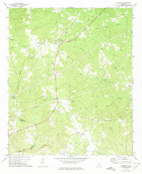
1972 · Devereux
USGS Topo · 1:24,000
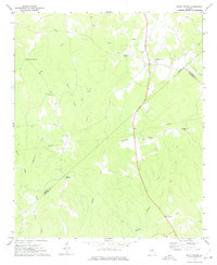
1972 · White Plains
USGS Topo · 1:24,000