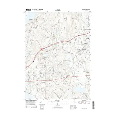
2015 Map of Shrewsbury
USGS Topo · Published 2015About this map
The hills of Worcester County define this mid-decade landscape, where the Wachusett Reservoir and Northborough Reservoir anchor a network of protected waterways and community centers. Historically significant landmarks such as Meeting House Hall and the Old Burial Ground serve as focal points for the area's development. The map details the suburban and residential growth in Shrewsbury, Northborough, and Boylston Center, illustrating how modern infrastructure has integrated with older terrain features like Rawson Hill and Bartlett Hill.
Find a feature on this map
271 named features on this map. Tap any name to fly to it.
Don’t see what you’re looking for? This feature index may not catch every label — zoom into the map to look around manually.
Map Details
Editions of this 2015 Shrewsbury Map
This is the sole edition of this map. No revisions or reprints were ever made.
Other maps of this area

1885 · Worcester
USGS Topo · 1:62,500

1886 · Worcester
USGS Topo · 1:62,500

1886 · Blackstone
USGS Topo · 1:62,500

1887 · Marlboro
USGS Topo · 1:62,500

1889 · Marlboro
USGS Topo · 1:62,500

1889 · Blackstone
USGS Topo · 1:62,500

1889 · Webster
USGS Topo · 1:62,500

1892 · Webster
USGS Topo · 1:62,500

1892 · Worcester
USGS Topo · 1:62,500

1893 · Blackstone
USGS Topo · 1:62,500