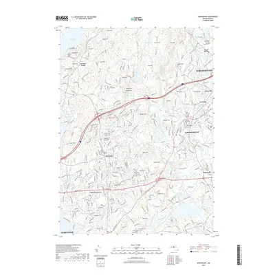
2018 Map of Shrewsbury
USGS Topo · Published 2018About this map
Shrewsbury sits at the heart of this Worcester County landscape, serving as a hub between the suburban expansion of Worcester and Marlborough. The terrain is defined by a series of prominent drumlins and hills, including Rawson Hill, Ball Hill, and Prospect Hill, which separate the drainage of the Wachusett Reservoir from the Assabet River basin. Historical infrastructure is visible in the alignment of the Boston Tpke and Turnpike Rd, reflecting the area's long-standing role as a corridor between major Massachusetts population centers.
Find a feature on this map
307 named features on this map. Tap any name to fly to it.
Don’t see what you’re looking for? This feature index may not catch every label — zoom into the map to look around manually.
Map Details
Editions of this 2018 Shrewsbury Map
This is the sole edition of this map. No revisions or reprints were ever made.
Other maps of this area

1885 · Worcester
USGS Topo · 1:62,500

1886 · Worcester
USGS Topo · 1:62,500

1886 · Blackstone
USGS Topo · 1:62,500

1887 · Marlboro
USGS Topo · 1:62,500

1889 · Marlboro
USGS Topo · 1:62,500

1889 · Blackstone
USGS Topo · 1:62,500

1889 · Webster
USGS Topo · 1:62,500

1892 · Webster
USGS Topo · 1:62,500

1892 · Worcester
USGS Topo · 1:62,500

1893 · Blackstone
USGS Topo · 1:62,500