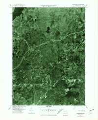
1975 Map of Shrewsbury
USGS Topo · Published 1981About this map
Wachusett Reservoir anchors the northern landscape of this orthophotoquad, which captures the Worcester County suburbs during a period of significant mid-1970s expansion. Unlike traditional topographic maps, this aerial imagery provides a direct look at the residential development patterns and road networks connecting Shrewsbury to surrounding villages like Boylston Center and Northborough. The sharp contrast between the dense neighborhoods of Fairlawn and the wooded corridors along the Assabet River reveals the varied land use of the era. To the south, the clear outline of Lake Quinsigamond borders the edge of the urbanized area, while outlying clusters such as South Berlin and Woodside retain a more rural character amidst the growing infrastructure of central Massachusetts.
Find a feature on this map
9 named features on this map. Tap any name to fly to it.
Don’t see what you’re looking for? This feature index may not catch every label — zoom into the map to look around manually.
Map Details
Editions of this 1975 Shrewsbury Map
This is the sole edition of this map. No revisions or reprints were ever made.
Other maps of this area

1885 · Worcester
USGS Topo · 1:62,500

1886 · Worcester
USGS Topo · 1:62,500

1886 · Blackstone
USGS Topo · 1:62,500

1887 · Marlboro
USGS Topo · 1:62,500

1889 · Marlboro
USGS Topo · 1:62,500

1889 · Blackstone
USGS Topo · 1:62,500

1889 · Webster
USGS Topo · 1:62,500

1892 · Webster
USGS Topo · 1:62,500

1892 · Worcester
USGS Topo · 1:62,500

1893 · Blackstone
USGS Topo · 1:62,500