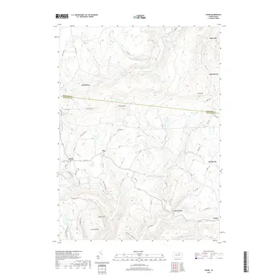
2019 Map of Shunk
USGS Topo · Published 2019About this map
Shunk and Eldredsville anchor this high-plateau landscape where the northern reaches of Sullivan County meet southern Bradford County. The terrain is defined by a dense network of mountain runs and creeks, including Schrader Creek in the north and the headwaters of Elk Cr which flows past Lincoln Falls in the south. These waterways carve deep hollows such as Painter Hollow, creating a complex topography of ridges like Browns Ridge and high points like Roundtop Mtn.
Find a feature on this map
91 named features on this map. Tap any name to fly to it.
Don’t see what you’re looking for? This feature index may not catch every label — zoom into the map to look around manually.
Map Details
Editions of this 2019 Shunk Map
This is the sole edition of this map. No revisions or reprints were ever made.
Other maps of this area

1927 · Eagles Mere
USGS Topo · 1:48,000

1930 · Warrensville
USGS Topo · 1:62,500

1932 · Eagle Mere
USGS Topo · 1:62,500

1934 · Warrensville
USGS Topo · 1:62,500

1942 · Canton
USGS Topo · 1:62,500

1943 · Powell
USGS Topo · 1:62,500

1944 · Canton
USGS Topo · 1:62,500

1945 · Powell
USGS Topo · 1:62,500

1953 · Warrensville
USGS Topo · 1:62,500

1953 · Eagles Mere
USGS Topo · 1:62,500
Featured Places
- Leroy Township, PA
- Overton Township, PA
- Elkland Township, PA
- Lincoln Falls, Elkland Township
- Minerville, Overton Township