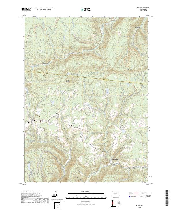
2023 Map of Shunk
USGS Topo · Published 2023About this map
Shunk and Lincoln Falls serve as focal points for this rural landscape in the southern Endless Mountains region. The network of small settlements, including Piatt and Eldredsville, is connected by winding routes like Rte 154 and sr4006, while the higher elevations are defined by names like Roundtop Mountain and Lake Knob. Family and community history is preserved at the Elkland Meetinghouse and several burial sites such as Quaker Cem and Brown Cem, reflecting the early Quaker influence and local lineage of Sullivan and Bradford Counties.
Find a feature on this map
82 named features on this map. Tap any name to fly to it.
Don’t see what you’re looking for? This feature index may not catch every label — zoom into the map to look around manually.
Map Details
Editions of this 2023 Shunk Map
This is the sole edition of this map. No revisions or reprints were ever made.
Other maps of this area

1927 · Eagles Mere
USGS Topo · 1:48,000

1930 · Warrensville
USGS Topo · 1:62,500

1932 · Eagle Mere
USGS Topo · 1:62,500

1934 · Warrensville
USGS Topo · 1:62,500

1942 · Canton
USGS Topo · 1:62,500

1943 · Powell
USGS Topo · 1:62,500

1944 · Canton
USGS Topo · 1:62,500

1945 · Powell
USGS Topo · 1:62,500

1953 · Warrensville
USGS Topo · 1:62,500

1953 · Eagles Mere
USGS Topo · 1:62,500
Featured Places
- Leroy Township, PA
- Overton Township, PA
- Elkland Township, PA
- Franklin Township, PA
- Lincoln Falls, Elkland Township