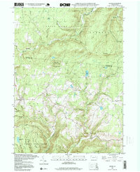
1995 Map of Shunk
USGS Topo · Published 1999About this map
State Game Lands No 12 and the Wyoming State Forest dominate this part of the Endless Mountains, where the border of Bradford and Sullivan counties meets. The landscape is defined by steep drainages like Schrader Creek and Elk Creek, which cut through the high plateaus. Small crossroads communities and family-named landmarks are scattered throughout the valleys, providing a window into the rural life of late 20th-century Pennsylvania.
Find a feature on this map
44 named features on this map. Tap any name to fly to it.
Don’t see what you’re looking for? This feature index may not catch every label — zoom into the map to look around manually.
Map Details
Editions of this 1995 Shunk Map
This is the sole edition of this map. No revisions or reprints were ever made.
Other maps of this area

1927 · Eagles Mere
USGS Topo · 1:48,000

1930 · Warrensville
USGS Topo · 1:62,500

1932 · Eagle Mere
USGS Topo · 1:62,500

1934 · Warrensville
USGS Topo · 1:62,500

1942 · Canton
USGS Topo · 1:62,500

1943 · Powell
USGS Topo · 1:62,500

1944 · Canton
USGS Topo · 1:62,500

1945 · Powell
USGS Topo · 1:62,500

1953 · Warrensville
USGS Topo · 1:62,500

1953 · Eagles Mere
USGS Topo · 1:62,500
Featured Places
- Leroy Township, PA
- Overton Township, PA
- Shunk, Fox Township
- Eldredsville, Elkland Township
- Elkland Township, PA