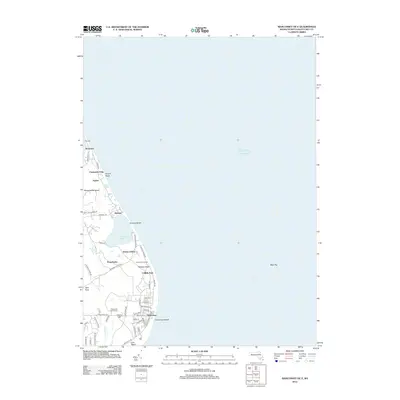
2012 Map of Siasconset OE E
USGS Topo · Published 2012About this map
The Atlantic coast of eastern Nantucket Island is defined here by its unique maritime character and dense residential clusters. Siasconset sits at the southern reach of the sheet, with its intricate street grid featuring Main Sias St and Ocean Ave leading toward the coast at Codfish Park. The terrain is characterized by coastal ponds and landmarks, notably Sesachacha Pond and the prominent Sankaty Head Light atop Sankaty Head. Further north, the thin barrier beach at Haulover and the settlement of Wauwinet separate the ocean from the inner harbor waters. The map provides a detailed view of the infrastructure supporting this seasonal and year-round community, including the Siasconset Golf Course and numerous coastal roads like Baxter Rd and Quidnet Rd that connect isolated hamlets like Quidnet and Squam along the bluff.
Find a feature on this map
56 named features on this map. Tap any name to fly to it.
Don’t see what you’re looking for? This feature index may not catch every label — zoom into the map to look around manually.
Map Details
Editions of this 2012 Siasconset OE E Map
This is the sole edition of this map. No revisions or reprints were ever made.
Other maps of this area

1889 · Nantucket
USGS Topo · 1:62,500

1893 · Nantucket
USGS Topo · 1:62,500

1901 · Nantucket
USGS Topo · 1:62,500

1942 · Nantucket
USGS Topo · 1:125,000

1945 · Siasconset
USGS Topo · 1:31,680

1945 · Great Point
USGS Topo · 1:31,680

1947 · Providence
USGS Topo · 1:250,000

1948 · Providence
USGS Topo · 1:250,000

1951 · Great Point
USGS Topo · 1:31,680
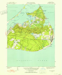
1951 · Siasconset
USGS Topo · 1:31,680