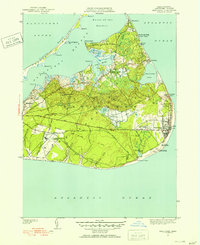
1951 Map of Siasconset
USGS Topo · Published 1951About this map
The coastal village of Siasconset and the eastern reaches of the island are depicted here during a period of transition in the mid-20th century. The settlement pattern shows the concentrated shoreline grid of Codfish Park alongside the early development of Sankaty Avenue and Burnell Road. A clear Abandoned Railroad Grade traces a path through the interior toward the village, marking the legacy of the island's rail era which had ceased operations by this time.
Find a feature on this map
68 named features on this map. Tap any name to fly to it.
Don’t see what you’re looking for? This feature index may not catch every label — zoom into the map to look around manually.
Map Details
Editions of this 1951 Siasconset Map
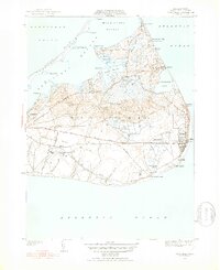
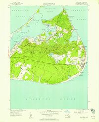
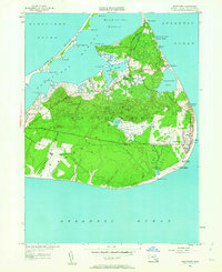
4 editions found
Other maps of this area

1889 · Nantucket
USGS Topo · 1:62,500

1893 · Nantucket
USGS Topo · 1:62,500

1901 · Nantucket
USGS Topo · 1:62,500

1942 · Nantucket
USGS Topo · 1:125,000

1945 · Nantucket
USGS Topo · 1:31,680

1945 · Siasconset
USGS Topo · 1:31,680

1945 · Great Point
USGS Topo · 1:31,680

1947 · Providence
USGS Topo · 1:250,000

1948 · Providence
USGS Topo · 1:250,000

1951 · Great Point
USGS Topo · 1:31,680