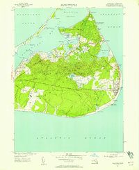
1951 Map of Siasconset
USGS Topo · Published 1958About this map
Nantucket Island's eastern shores and interior commons are captured here during the early 1950s, a period before significant modern expansion. The settlement at Siasconset remains the primary hub, showing the traditional grid of Codfish Park along the beach and the larger estates bordering the Sankaty Golf Course. A trace of the island's industrial past is visible in the abandoned railroad grade that once linked the town to the western end of the island.
Find a feature on this map
65 named features on this map. Tap any name to fly to it.
Don’t see what you’re looking for? This feature index may not catch every label — zoom into the map to look around manually.
Map Details
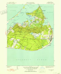
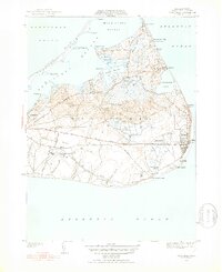
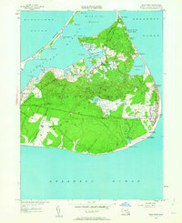
Editions of this 1951 Siasconset Map
4 editions found
Other maps of this area

1889 · Nantucket
USGS Topo · 1:62,500

1893 · Nantucket
USGS Topo · 1:62,500

1901 · Nantucket
USGS Topo · 1:62,500

1942 · Nantucket
USGS Topo · 1:125,000

1945 · Nantucket
USGS Topo · 1:31,680

1945 · Siasconset
USGS Topo · 1:31,680

1945 · Great Point
USGS Topo · 1:31,680

1947 · Providence
USGS Topo · 1:250,000

1948 · Providence
USGS Topo · 1:250,000

1951 · Great Point
USGS Topo · 1:31,680