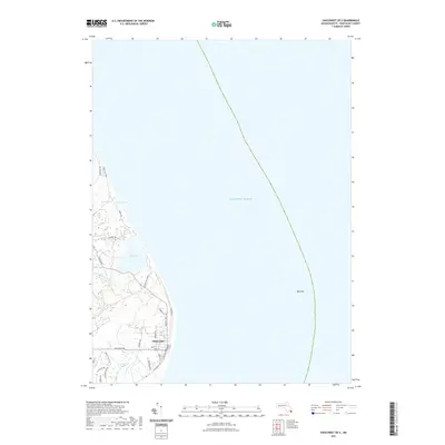
2021 Map of Siasconset OE E
USGS Topo · Published 2021About this map
Siasconset anchors the eastern edge of Nantucket on this coastal survey, where the village grid meets the Atlantic Ocean along Ocean Ave and Low Beach Rd. The landscape is defined by the tension between the shifting Atlantic coastline and a series of interior wetlands and lagoons, most notably Sesachacha Pond and the expansive Tom Nevers Swamp. The map details the local road network connecting seaside neighborhoods, including Baxter Rd and Sankaty Rd, while tracing the course of Phillips Run as it drains toward the southern shore. Offshore, the survey identifies Bass Rip, a significant navigational hazard that underscores the maritime character of this island reach. This record illustrates the modern density of one of the island's most recognizable settlements, preserved amidst the protected natural environments of Squam Swamp and Spotsa Swamp.
Find a feature on this map
32 named features on this map. Tap any name to fly to it.
Don’t see what you’re looking for? This feature index may not catch every label — zoom into the map to look around manually.
Map Details
Editions of this 2021 Siasconset OE E Map
This is the sole edition of this map. No revisions or reprints were ever made.
Other maps of this area

1889 · Nantucket
USGS Topo · 1:62,500

1893 · Nantucket
USGS Topo · 1:62,500

1901 · Nantucket
USGS Topo · 1:62,500

1942 · Nantucket
USGS Topo · 1:125,000

1945 · Siasconset
USGS Topo · 1:31,680

1945 · Great Point
USGS Topo · 1:31,680

1947 · Providence
USGS Topo · 1:250,000

1948 · Providence
USGS Topo · 1:250,000

1951 · Great Point
USGS Topo · 1:31,680
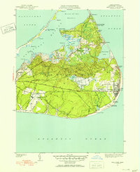
1951 · Siasconset
USGS Topo · 1:31,680