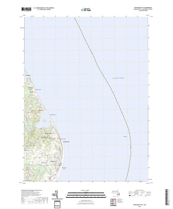
2024 Map of Siasconset OE E
USGS Topo · Published 2024About this map
Nantucket Island's eastern coastline is defined here by the distinctive settlement patterns of Siasconset and the surrounding coastal ponds. This 2024 survey captures the densely clustered grid of Codfish Park and the prominent landmark of Sankaty Head, which overlooks the Atlantic Ocean. The landscape is a complex mosaic of low-lying wetlands and sandy shores, with Sesachacha Pond and Squam Pond separated from the sea by narrow beaches.
Find a feature on this map
48 named features on this map. Tap any name to fly to it.
Don’t see what you’re looking for? This feature index may not catch every label — zoom into the map to look around manually.
Map Details
Editions of this 2024 Siasconset OE E Map
This is the sole edition of this map. No revisions or reprints were ever made.
Other maps of this area

1889 · Nantucket
USGS Topo · 1:62,500

1893 · Nantucket
USGS Topo · 1:62,500

1901 · Nantucket
USGS Topo · 1:62,500

1942 · Nantucket
USGS Topo · 1:125,000

1945 · Siasconset
USGS Topo · 1:31,680

1945 · Great Point
USGS Topo · 1:31,680

1947 · Providence
USGS Topo · 1:250,000

1948 · Providence
USGS Topo · 1:250,000

1951 · Great Point
USGS Topo · 1:31,680
1951 · Siasconset
USGS Topo · 1:31,680