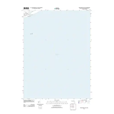
2012 Map of Siasconset OE SE
USGS Topo · Published 2012About this map
Tom Nevers Head and the adjacent shoreline of south-eastern Nantucket dominate the northwest corner of this coastal study, where the land meets the vast Atlantic Ocean. The landscape is defined by the proximity of the water, featuring the secluded Tom Nevers Pond and the expanse of Pebble Beach. Local infrastructure is represented by a small network of roads including Tom Nevers Rd, Low Beach Rd, and Wanoma Way, which serve the residential and coastal access points in this specific corner of the island. Beyond the shore, the map focuses on the submerged hazards of the Atlantic, most notably the offshore bank of Old Man Shoal. This quadrangle is primarily an oceanic chart, emphasizing the relationship between the island's southern edge and the shifting shoals of the open sea.
Find a feature on this map
10 named features on this map. Tap any name to fly to it.
Don’t see what you’re looking for? This feature index may not catch every label — zoom into the map to look around manually.
Map Details
Editions of this 2012 Siasconset OE SE Map
This is the sole edition of this map. No revisions or reprints were ever made.
Other maps of this area

1889 · Nantucket
USGS Topo · 1:62,500

1893 · Nantucket
USGS Topo · 1:62,500

1901 · Nantucket
USGS Topo · 1:62,500

1942 · Nantucket
USGS Topo · 1:125,000

1945 · Siasconset
USGS Topo · 1:31,680

1947 · Providence
USGS Topo · 1:250,000

1948 · Providence
USGS Topo · 1:250,000
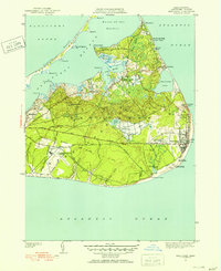
1951 · Siasconset
USGS Topo · 1:31,680

1957 · Providence
USGS Topo · 1:250,000

1958 · Providence
USGS Topo · 1:250,000