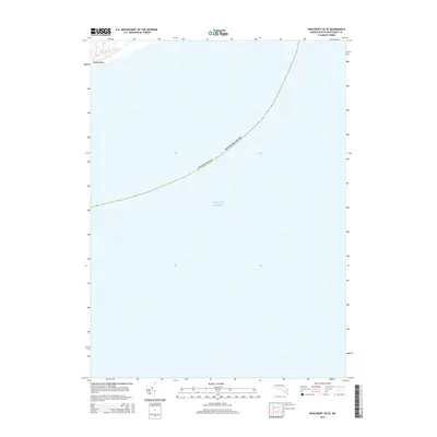
2015 Map of Siasconset OE SE
USGS Topo · Published 2015About this map
Pebble Beach and the coastal waters of the Atlantic Ocean dominate this 2015 maritime survey of Nantucket's southeastern shoreline. The map focuses primarily on the open sea, but captures the immediate coast where land meets the water. Tom Nevers Pond is a prominent coastal feature located just inland from the beach, highlighting the delicate intersection of freshwater and saltwater environments. This sheet provides a detailed look at the island's littoral zone before further modern erosion or development, focusing on the natural contours of the coastline and the expanse of the ocean reaching south and east from the island of Nantucket.
Find a feature on this map
4 named features on this map. Tap any name to fly to it.
Don’t see what you’re looking for? This feature index may not catch every label — zoom into the map to look around manually.
Map Details
Editions of this 2015 Siasconset OE SE Map
This is the sole edition of this map. No revisions or reprints were ever made.
Other maps of this area

1889 · Nantucket
USGS Topo · 1:62,500

1893 · Nantucket
USGS Topo · 1:62,500

1901 · Nantucket
USGS Topo · 1:62,500

1942 · Nantucket
USGS Topo · 1:125,000

1945 · Siasconset
USGS Topo · 1:31,680

1947 · Providence
USGS Topo · 1:250,000

1948 · Providence
USGS Topo · 1:250,000
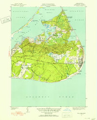
1951 · Siasconset
USGS Topo · 1:31,680

1957 · Providence
USGS Topo · 1:250,000

1958 · Providence
USGS Topo · 1:250,000