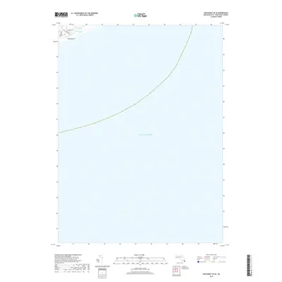
2018 Map of Siasconset OE SE
USGS Topo · Published 2018About this map
Pebble Beach sits at the northern edge of this coastal survey, where the terrestrial landscape of Nantucket quickly gives way to the vast expanse of the Atlantic Ocean. The landward portion of the map is dominated by the wetlands of Tom Nevers Swamp and the nearby Tom Nevers Pond, illustrating the low-lying, hydrologically sensitive nature of the island's southern reach. A small network of local thoroughfares, including Old Tom Nevers Rd, Tom Nevers Rd, and Sandsbury Rd, provides the primary access to this quiet shorefront. This 2018 edition provides a clear record of the shoreline and maritime boundaries, showing the intersection of established local roads and the encroaching coastal environment.
Find a feature on this map
7 named features on this map. Tap any name to fly to it.
Don’t see what you’re looking for? This feature index may not catch every label — zoom into the map to look around manually.
Map Details
Editions of this 2018 Siasconset OE SE Map
This is the sole edition of this map. No revisions or reprints were ever made.
Other maps of this area

1889 · Nantucket
USGS Topo · 1:62,500

1893 · Nantucket
USGS Topo · 1:62,500

1901 · Nantucket
USGS Topo · 1:62,500

1942 · Nantucket
USGS Topo · 1:125,000

1945 · Siasconset
USGS Topo · 1:31,680

1947 · Providence
USGS Topo · 1:250,000

1948 · Providence
USGS Topo · 1:250,000
1951 · Siasconset
USGS Topo · 1:31,680

1957 · Providence
USGS Topo · 1:250,000

1958 · Providence
USGS Topo · 1:250,000