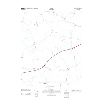
2013 Map of Sideview
USGS Topo · Published 2013About this map
Mount Zion and the surrounding Bluegrass plateau are defined by a complex network of creeks and ridge-top settlements in the early 21st century. The landscape is carved by the meandering Stoner Cr and its tributaries, including Little Stoner Cr and Donaldson Cr, which historically shaped the agricultural and transport corridors of the region. Distinctive small communities like Sideview, Pleasant Ridge, and Sewell Shop are connected by a web of historically named routes such as Prewitt Grassy Lick Pike and Wades Mill Rd. Local heritage is preserved in several family burial grounds, including the Prewitt Cem and Hayden Cem, while the name L and E Junction points to the area's rail history. The terrain transitions from the elevations of Sugar Ridge down toward the bottomlands of Goose Cr and Grassy Lick Cr, reflecting a rural character that persists despite the modern highway infrastructure crossing the central part of the quadrangle.
Find a feature on this map
71 named features on this map. Tap any name to fly to it.
Don’t see what you’re looking for? This feature index may not catch every label — zoom into the map to look around manually.
Map Details
Editions of this 2013 Sideview Map
This is the sole edition of this map. No revisions or reprints were ever made.
Other maps of this area

1892 · Richmond
USGS Topo · 1:125,000

1892 · Beattyville
USGS Topo · 1:125,000

1897 · Richmond
USGS Topo · 1:125,000

1950 · Levee
USGS Topo · 1:24,000

1952 · Sharpsburg
USGS Topo · 1:24,000

1952 · Paris East
USGS Topo · 1:24,000

1952 · Mount Sterling
USGS Topo · 1:24,000

1952 · Austerlitz
USGS Topo · 1:24,000

1952 · North Middletown
USGS Topo · 1:24,000

1952 · Levee
USGS Topo · 1:24,000