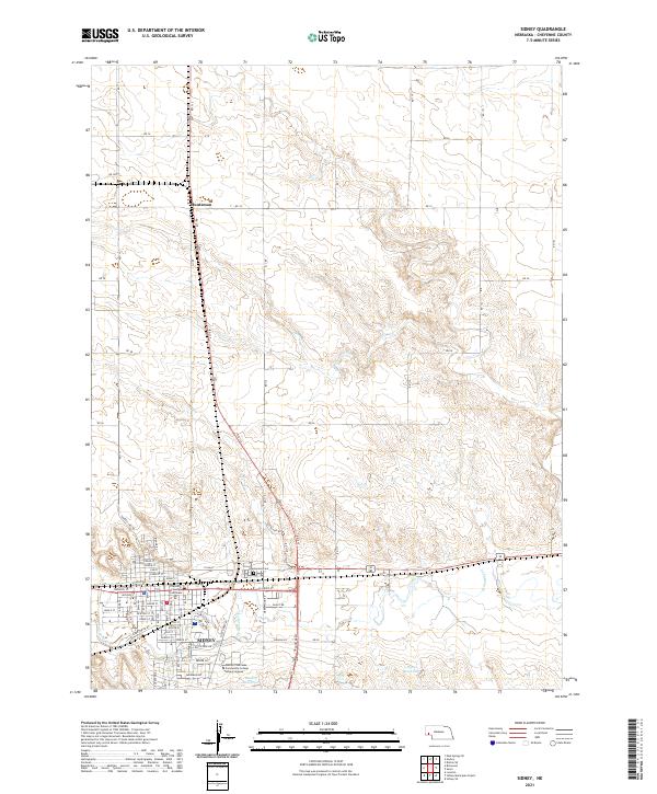
1972 Map of Sidney
USGS Topo · Published 1976About this map
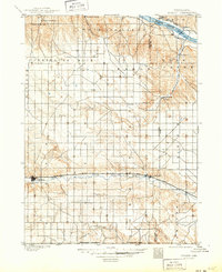
Sidney serves as the focal point of this 1972 survey, revealing the infrastructure of the Cheyenne County seat during a period of industrial and military transition. The city is a hub for several local schools, including St Patricks High Sch and Willard Sch, and essential facilities like the Memorial Hospital and the local Courthouse. To the northwest, an Abandoned Ammunition Depot marks the military footprint of a prior era, while the surrounding plains are punctuated by a sprawling Oil Field and numerous Oil Wells, highlighting the region's energy-based economy.
Find a feature on this map
36 named features on this map. Tap any name to fly to it.
Don’t see what you’re looking for? This feature index may not catch every label — zoom into the map to look around manually.
Map Details
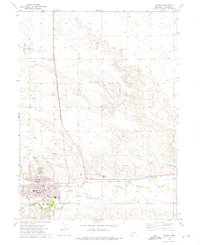
Editions of this 1972 Sidney Map
This is the sole edition of this map. No revisions or reprints were ever made.
Historical Maps of Sidney Through Time
6 maps found