Loading...
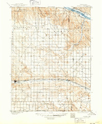
Loading map...1899 Map of Sidney
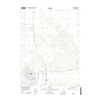
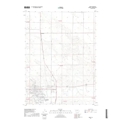
USGS Topo · Published 1949About this map
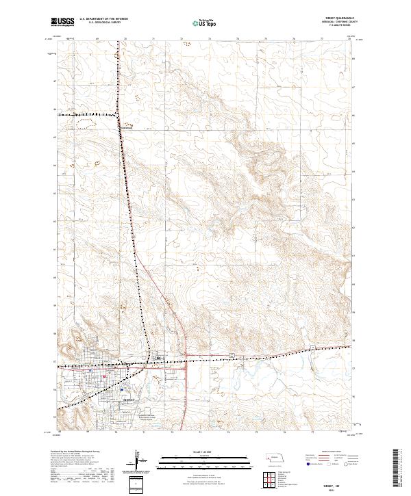
The Union Pacific Main Line dictates the settlement pattern of the western Nebraska plains, drawing the towns of Sidney, Colton, and Lodgepole into a strict linear corridor. Surveyed by Jno. H. Renshawe and H. B. Blair, this late 19th-century landscape is defined by the transition from the North Platte River in the northeast to the high tablelands carved by Lodgepole Creek and Cow Creek.
Find a feature on this map
32 named features on this map. Tap any name to fly to it.
Don’t see what you’re looking for? This feature index may not catch every label — zoom into the map to look around manually.
Map Details
Date Portrayed1899
Date Published1949
PublisherU.S. Geological Survey
Map TypeTopographic
Scale1:125,000
Physical Dimensions17 x 20.8 inches
Editions of this 1899 Sidney Map
3 editions found

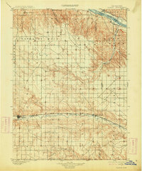
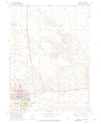
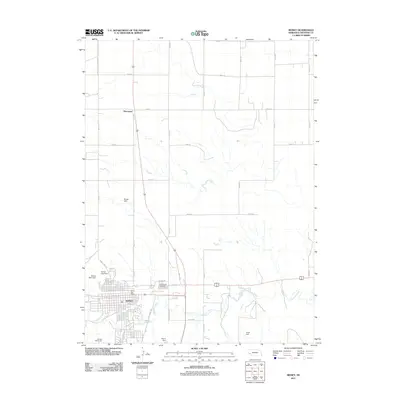
Historical Maps of Sidney Through Time
6 maps found
Featured Locations
Source Details
SourceU.S. Geological Survey
CopyrightPublic Domain