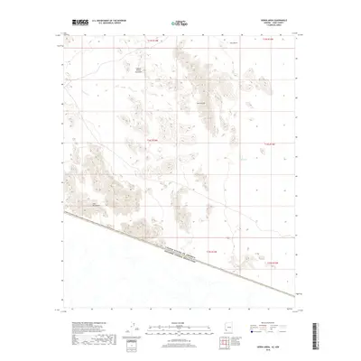
2018 Map of Sierra Arida
USGS Topo · Published 2018About this map
The United States and Mexico border bisects this arid landscape, showing the international boundary as it appeared in the late 2010s. This desert region is defined by the sharp elevations of the Sierra Arida and the Cabeza Prieta Mountains, which dominate the northern and central portions of the quadrangle. These peaks overlook the wide expanse of the Tule Desert, a terrain where water sources are scarce and critical for survival in the Sonoran environment.
Find a feature on this map
13 named features on this map. Tap any name to fly to it.
Don’t see what you’re looking for? This feature index may not catch every label — zoom into the map to look around manually.
Map Details
Editions of this 2018 Sierra Arida Map
This is the sole edition of this map. No revisions or reprints were ever made.
Other maps of this area

1953 · Ajo
USGS Topo · 1:250,000

1957 · Ajo
USGS Topo · 1:250,000

1958 · Ajo
USGS Topo · 1:250,000

1962 · Ajo
USGS Topo · 1:250,000

1963 · Ajo
USGS Topo · 1:250,000

1965 · Cabeza Prieta Peak
USGS Topo · 1:62,500
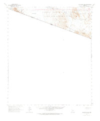
1965 · Tule Mountains
USGS Topo · 1:62,500

1965 · Isla Pinta
USGS Topo · 1:62,500

1965 · Sierra Arida
USGS Topo · 1:62,500

1967 · Ajo
USGS Topo · 1:250,000