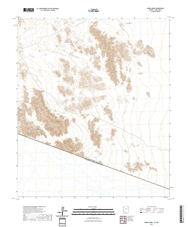
2021 Map of Sierra Arida
USGS Topo · Published 2021About this map
The international border between the United States of America and Mexico cuts diagonally across this arid landscape in Yuma County, marking a stark political division through a continuous desert environment. The terrain is dominated by the Sierra Arida and the southern reaches of the Cabeza Prieta Mountains, where steep ridgelines overlook the expansive Tule Desert. Hydrological features are sparse and vital, including Tule Wash and the isolated Tuseral Tank located near the base of the Tule Mountains. This survey illustrates the extreme isolation of the borderlands, where natural topography like mountain passes and seasonal washes dictates movement across the desert floor. The map serves as a record of the remote southwestern frontier, defined more by its physical barriers and surveyed township lines like t14s r14w than by human settlement.
Find a feature on this map
13 named features on this map. Tap any name to fly to it.
Don’t see what you’re looking for? This feature index may not catch every label — zoom into the map to look around manually.
Map Details
Editions of this 2021 Sierra Arida Map
This is the sole edition of this map. No revisions or reprints were ever made.
Other maps of this area

1953 · Ajo
USGS Topo · 1:250,000

1957 · Ajo
USGS Topo · 1:250,000

1958 · Ajo
USGS Topo · 1:250,000

1962 · Ajo
USGS Topo · 1:250,000

1963 · Ajo
USGS Topo · 1:250,000

1965 · Cabeza Prieta Peak
USGS Topo · 1:62,500
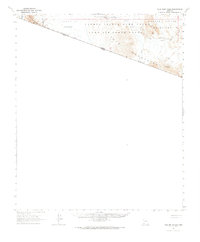
1965 · Tule Mountains
USGS Topo · 1:62,500

1965 · Isla Pinta
USGS Topo · 1:62,500

1965 · Sierra Arida
USGS Topo · 1:62,500

1967 · Ajo
USGS Topo · 1:250,000